Beaches Near Karon, Phuket: A Guide From Kata to Surin
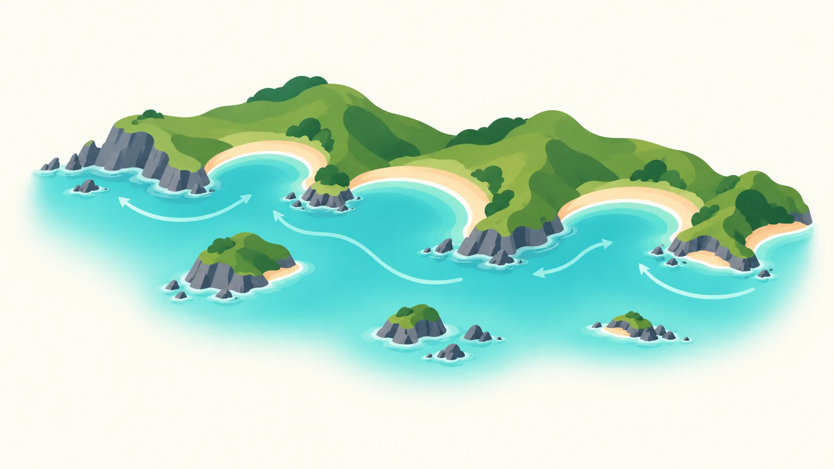
The beaches near Karon run from Kata, 0.9 km from the Ever Prime Residences site, to Surin, 23.4 km away, according to the developer’s brochure. In between are Karon itself, Nai Harn, Patong, Rawai and Kamala. Each one has a different character, so the right beach depends on the day: a swim, a surf session, a quiet walk, a boat trip or a sunset.
This guide covers what each beach is like, how far it is from the project, and when to head up to the Karon Viewpoint instead.
Beaches Near Karon at a Glance
The distances below are listed in the developer’s brochure, measured from the Ever Prime Residences site. The brochure does not say whether they are road or straight-line distances.
Beach
Distance from the project
What it is known for
Kata
0.9 km
Hill-framed bay with Ko Pu offshore; a surf spot in the wet season
Karon
1.4 km
Long, open crescent with dunes and a lively beach road
Nai Han (Nai Harn)
8.2 km
Bay sheltered by hills, popular for sailing and yachts
Patong
8.9 km
Busy beach lined with tourist services and watersports
Rawai
11.9 km
Fishing community, seafood and boats to nearby islands
Kamala
19.7 km
Quieter beach north of Patong
Surin
23.4 km
Powdery sand between rocky headlands
Kata and Karon: The Two Beaches Closest to Home
The Tourism Authority of Thailand describes both Kata and Karon as having flat expanses of powdery white sand and clear water. Both have Thai massage, beach sports and a wide choice of places to eat.
Kata Beach
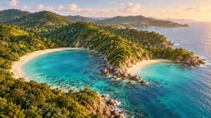
Kata is 0.9 km from the project, according to the developer’s brochure. Its clear water is flanked by hills, and the small island of Ko Pu sits offshore.
Kata faces south-west. TAT’s surf guide calls it the safest bet for aspiring surfers when the monsoon swell arrives, and notes that it gets crowded when the waves are good. The same guide suggests avoiding Kata after heavy rain, when the water gets polluted.
Karon Beach
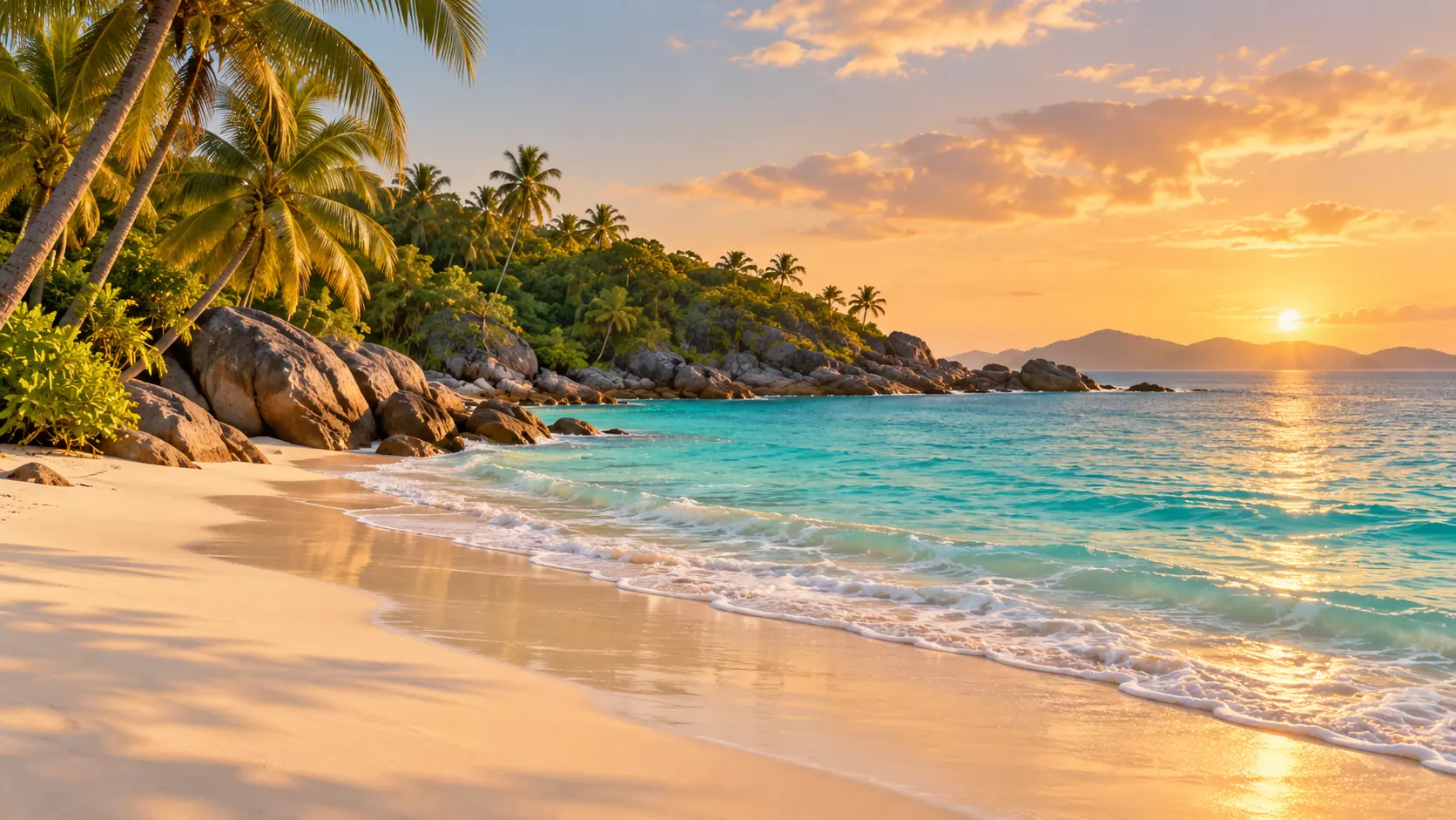
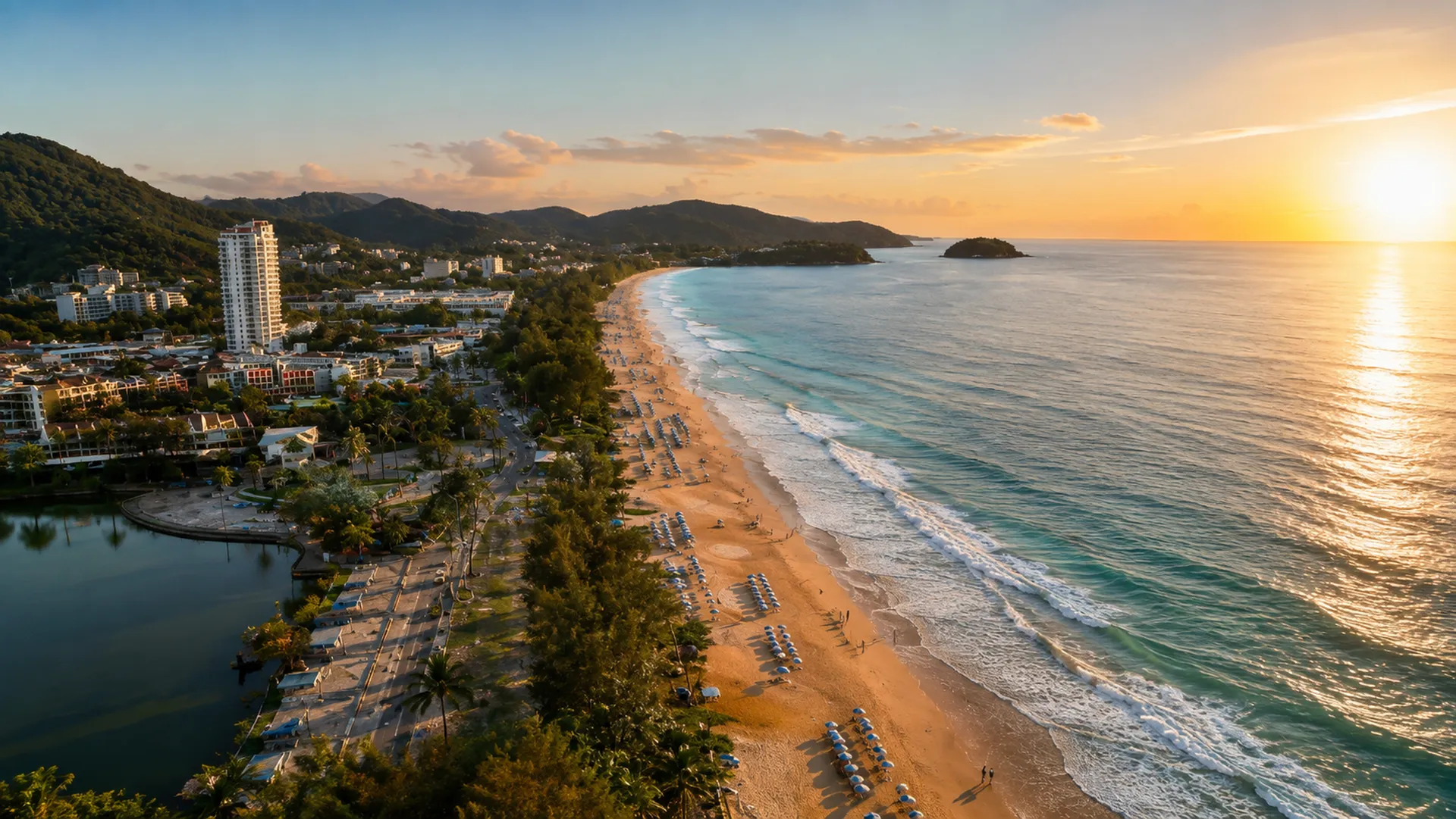
Karon is 1.4 km from the project in the brochure. TAT describes it as a curving bay backed by small sand dunes, casuarinas and palm trees. Restaurants, nightclubs and evening entertainment line the beachfront road.
From May to October, TAT warns that Karon may be affected by serious undertows because the bay is open. It asks swimmers and surfers to watch the warning flags, especially at the southern end. In the high season, TAT calls it ideal for swimming and sunbathing.
The brochure spells it Nai Han and lists it at 8.2 km. TAT describes a crescent-shaped bay shielded from the wind by the surrounding hills. It is popular for sailing, with yachts moored in the bay and sunset boat trips.
Shelter from the wind does not always mean a calm sea. TAT’s surf guide warns that big waves at Nai Han mean strong rip tides. Windmill Viewpoint, on the ridge between Nai Harn and Ya Nui beaches, is a good place to end the day.
Rawai Beach
Rawai is 11.9 km from the project in the brochure. It feels different from the west-coast bays. TAT describes a pier among a local fishing community, with local boats taking visitors to nearby islands such as Ko Lon, Ko He, Ko Bon, Ko Racha and Ko Kaeo Phitsadan.
The beach is lined with resorts, beach huts and simple seafood restaurants, with pine trees along the shore. Go for lunch or a boat trip rather than a swim-and-sunbathe day.
North to Patong, Kamala and Surin
Patong Beach
Patong is 8.9 km from the project in the brochure. TAT describes it as a top destination for Thai and international visitors, between Kamala and Karon. Watersports such as jet-skiing and banana boats are common, and the whole beach is lined with places to stay, travel agents, tour companies, souvenir shops and places to relax.
Patong is the place to go when you want activity. If you live in Karon, it works well as an evening out rather than an everyday beach.
Kamala Beach
Kamala is 19.7 km from the project in the brochure. TAT describes it as a relatively secluded, peaceful beach about 2 kilometres long, north of Kalim and Patong. It is home to resorts and to part of Phuket’s Muslim community.
Surin Beach
Surin is 23.4 km away in the brochure, the furthest beach in its list. TAT describes powdery sand between two small rocky headlands, with rows of coconut trees for shade. Surfers come when the wind and waves pick up, and TAT notes a manned lifeguard tower.
Karon Viewpoint: The Three Beaches View
Many people search for the Karon Viewpoint as Three Beaches Hill. TAT calls it the Three-Beach Viewpoint, and locals know it as Jud Chom View Sam Ao, the Three Bay viewpoint.
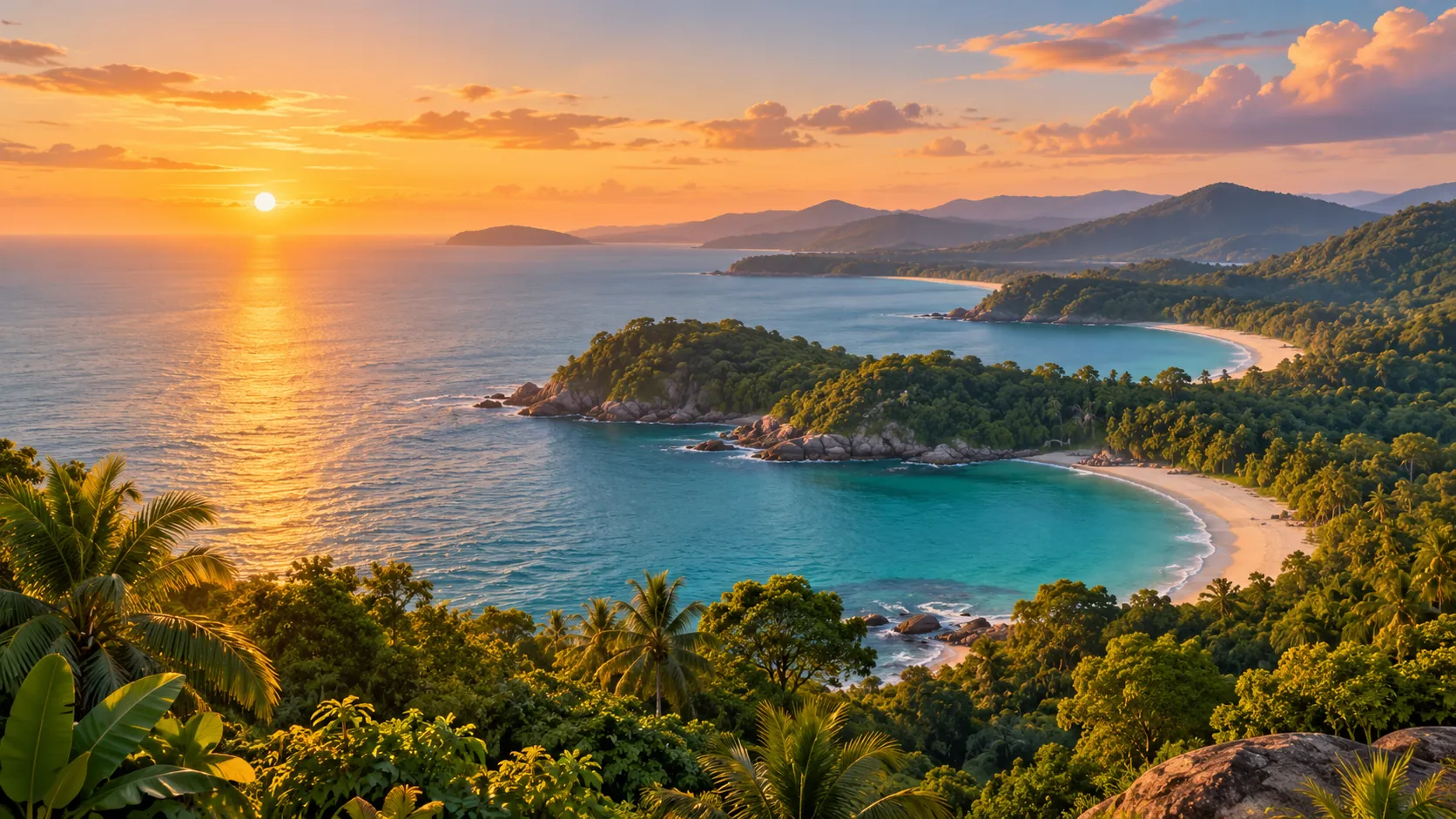
It sits on the hillside just south of Kata Noi Beach, off the coastal road towards Nai Harn. From the top you look down over three bays, Kata Noi, Kata and Karon, with Ko Pu and the Andaman Sea beyond. The viewpoint was once known as Kata Viewpoint, and TAT calls it a renowned spot for sunset photos. TAT lists parking as a facility.
Karon Viewpoint or Promthep Cape?
Both are sunset spots, but they show you different things:
Karon Viewpoint looks back along the west coast at the three bays you can swim in.
Promthep Cape sits at Phuket’s southern tip, between Nai Han and Rawai. It looks across open sea, has a lighthouse with a small exhibition, and has cafés and stalls nearby. TAT calls it one of the most photographed places on Phuket.
Choose the Karon Viewpoint for a quick sunset close to home. Choose Promthep Cape when you want a longer evening out in the south. TAT’s guide to Phuket’s viewpoints covers both.
Beach Safety: Flags, Lifeguards and the Monsoon
The sea on this coast changes with the seasons. Thailand’s southwest monsoon usually runs from mid-May to mid-October and brings cloudy, rainy weather, especially on the coasts, according to the Thai government’s public relations department. At the Thai Meteorological Department’s Phuket station, the prevailing wind is from the west from May to October.
Simple rules for every beach on this list:
Check the flags first. Do not swim when red flags are up.
Follow the lifeguards. If a lifeguard tells you to leave the water or move, do it.
Watch the open bays in the wet season. TAT warns of serious undertows at Karon from May to October.
Respect big surf. Big waves at Nai Han mean strong rip tides, according to TAT.
Keep children within reach and choose calm days for family swims.
The four driest months on the Thai Meteorological Department’s 1991–2020 record are December to March. That is the easiest time for swim-focused beach days.
Planning Days at the Beaches Near Karon
Use the Smart Bus for the coast road. The Phuket Smart Bus route between the airport and Rawai stops at Patong, Karon, Kata and Rawai.
Match the beach to the season. Swim days suit the drier months. In the wet season, Kata becomes a surf beach; if you want to try, go with a qualified instructor.
Match the beach to the time of day. Mornings suit a walk on Karon’s long sand. Late afternoons suit the Karon Viewpoint or Promthep Cape.
Plan a south-coast loop. Rawai for a seafood lunch, Nai Harn for the afternoon, then the Windmill Viewpoint or Promthep Cape at sunset.
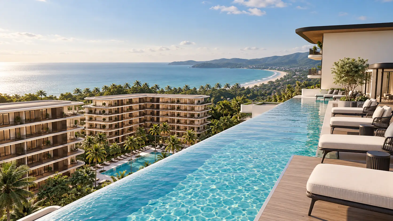
Ever Prime Residences is at 1 Patak Rd, Karon. Its brochure lists Kata Beach at 0.9 km and Karon Beach at 1.4 km. The planned facilities include an ocean-view rooftop pool and double lap pools, so there is a place to swim when the sea is closed.
Kata. The developer’s brochure lists Kata Beach at 0.9 km and Karon Beach at 1.4 km from the Ever Prime Residences site.
How far is Karon from Patong Beach?
The developer’s brochure lists Patong Beach at 8.9 km from the project in Karon. The Phuket Smart Bus also stops at both Patong and Karon.
What is Three Beaches Hill?
It is the Karon Viewpoint, south of Kata Noi. It looks over Kata Noi, Kata and Karon bays.
Is Karon Viewpoint or Promthep Cape better for sunset?
Both are popular. Karon Viewpoint looks along the west-coast bays and is close to Karon. Promthep Cape is at the southern tip, with open-sea views and a lighthouse.
When is it safe to swim at Karon?
There is no fixed safe date. TAT warns of serious undertows at Karon from May to October. In any month, swim only when there are no red flags and follow the lifeguards.
Final Takeaway
The beaches near Karon are seven quite different places, from Kata at 0.9 km to Surin at 23.4 km, according to the developer’s brochure. Use Kata and Karon for everyday swims in the dry season, the south coast for boats and sunsets, and Patong when you want activity.
Beach descriptions are based on the Tourism Authority of Thailand’s attraction pages and TAT Newsroom, and weather details on the Thai Meteorological Department, accessed 21 October 2026. Sea conditions change daily, so always follow beach flags and lifeguards.
All project specifications, facilities and distances are taken from the developer’s brochure and are subject to change without notice.
Image note: Images in this article are AI-assisted illustrations, including visuals based on Ever Prime Residences computer-generated renderings. They are not photographs of the completed project.
Luxury condo interior design in Phuket: light palettes, humidity-aware materials, balconies, storage and lighting, and how Ever Prime's design reflects...